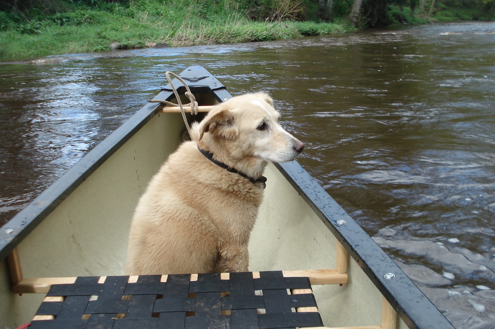
Drop the canoe off at the bridge in Grosmont. Drive back to Sleights. Jog with dog back to canoe (45 minutes along the old trod)


This first appeared in Bayfair, June 2011
"Haar was”, the man explained to some visitors in late spring, “the local name, of the cool sea fog that might have been spoiling their visit”. I asked him how he knew this and was curtly told that I should ask any fisherman or local as they all used this term. When I mentioned that I’d never ever heard other locals, including the Whitby fisherman I knew, use the term Haar and had only ever heard the word Sea Fret used locally, he dismissed my comment saying that the fisherman didn’t know anything. His accent gave away the fact that he came from West Yorkshire where Sea Frets never occur. I found no mention of Fret or Sea Fret in my Chambers, Oxford or Collins dictionary. Haar did get mentioned as being used on the Scottish east coast but is also used in Northumbria. South of the tyne, Sea Fret is used. Haar is of Dutch origin and its use on the Scottish coast is evidence perhaps of the huge influx of Dutch fishing vessels there in the last couple of centuries.
The fact that sea fret wasn’t in any of my dictionaries doesn’t make its use incorrect though; many local dialect words can’t be found either even though we use them regularly.
Our language and dialects are not fixed. The words and grammar we use and the ways we use them evolve and change. Ask a farmer now what ‘shocking’, ‘stiching’ and ‘thriving’ are and he is unlikely to know because mechanisation has removed the need for these terms. Words fall out of use in our own life span, it’s a long time since I heard anyone here say they were vexed or referring to someone being cack handed.
Just because we have a standardised English written down doesn’t mean that variations to it are wrong. Try telling an American that he is wrong when he calls the boot of a car, the trunk or an Australian he’s wrong when referring to opening a tinny, having a barbie, or being taken away in an ambo.
Similarily in Ireland a beach is known as a strand, a plank of wood is a stick, the dry stone walls and banks I built were ditches – because those are the right words to use in those countries. Likewise the regional English spoken anywhere in the UK is the correct English regardless of usage, accent and regional variations. Indeed if you are teaching foreign learners English there is absolutely no point in teaching anything other than ‘English-as-it-is-spoken’. New use of our grammar evolves all the time. Fifteen years ago you would not have heard people use the present continuous tense, as in , “I’m loving it”. We all used the present tense, as in, “I love it”. This usage is now in common and widespread use. It cannot be ‘wrong’.
The same words can have totally different meanings if spoken by a teenager or adult. We know what wicked means don’t we? But spoken by a teenager it spells out enjoyment, as in, “It was a wicked party” I don’t think they use the similar meaning word, ‘minted’ anymore either.
Even local dialect words can vary within quite short distances. In Hull the path between houses is called a ten foot, or eight foot in Grimsby. In industrial Yorkshire ginnel is used. In York they’d wonder what you were talking about unless you called it a snicket and you’d have to tell a Londoner it’s an alleyway.
Writing in the 1920s Fairfax-Blakeborough listed many local words that are now long forgotten and he recognised that English is ‘elastic’ as he called it and was different from the Yorkshire dialect of his youth. David Crystal the eminent linguist, explains that our current concern with ‘standard’ English is only the result of countless books and grammatical texts describing what is considered normal use at the time and cannot possibly cover all uses in all parts of the UK. Normal English isn’t decided by retired generals writing letters to the times, nor professors of linguistics, it’s us, the everyday speakers of the language and is thus correct for whatever part of the country you come from.
Should the loss of local terms, regional accents and so on be mourned in the same way as we might mourn when we loose a valued building or some species of wildlife?. I don’t know, maybe not, but I’m glad we don’t all speak the same way. The distinctive accent used locally, which is unique to just a small part of the north Yorkshire coast, goes someway towards our self-identity and sense of being, like all regional accents.
Travel, people from different regions relocating elsewhere, widespread standard usage of English through national press, magazines, books, radio and TV all help erode the use of local terms and sayings. So I was thoroughly delighted when I recently heard the BBC use ‘Sea Fret’ to describe sea fog, rather than the word in my dictionaries. Perhaps the BBC was bucking the trend by using a relatively local word in place of haar..
It certainly proved that the locals and fishermen of this coast know more about our language than the man from west Yorkshire. Perhaps the BBC will be using more vernacular English soon! But Haar Haar? I don’t think so!!
 On my way to view a potato house near Mountain Ash Farm I came across this old fruit press against a rather large old oak tree. This picture also appears in An Illustrated guide to stone antiquities on the north yorkshire moors' by Elizabeth Ogilvie.
 And this is the potato house. Not many in this part of the UK but these were used to store potatoes in winter. This one is divided into two sections and totals about 13ft X10ft partially buried in earth to insulate it from the winter frosts this potato house is now only occupied by sheep.
 I wonder whether it's the same person decorating this as the pine near the cattle grid up on the Goathland turn off? This is no longer decorated and it would appear that the attention is now devoted to the Sitka Spruce.


 The snow on the North Yorkshire Moors is probably the best for skiing I've known as the cover is complete, extensive and firm.
Sitting in the pub The Laurel one evening I overheard a visitor telling his companion about how remote some of our moors were from roads. Checking my map the following morning identified the centre of Baysdale moor, SW of Westerdale, as being 2.5 miles from the nearest road and you might just get 3 miles if you went further SW toWhorlton moor on the Cleveland hills.
Of course, if you went to Scotland you just might find yourself with a longer walk. A couple of places in the highlands are about 14 miles from public roads.
To find extremely remote places on earth we must travel much further.
The most remote uninhabited island in the world is Bouvet island in the South Atlantic. It is 1400 miles from Tristan Da Cunha and 1000 miles from Queen Maud land in Antarctica.
The most remote inhabited island is Tristan Da Cunha in the South Atlantic with a population of a couple of hundred people. It is 1400 miles from Antarctica, 1600 miles from South Africa and over 2000 miles from South America. There is no airport, access is by sea from Cape Town a few times a year. There is no harbour to speak of. A few ships stop by, weather permitting, for the boats to ferry people to and from the island. I visited it on a dull, cold, wet & stormy day 40 years ago. It is a truly remote and desolate spot, several days sailing across a bleak and empty ocean.
On land the most remote places are difficult to identify. Some places in China, Russia, Mongolia & Tibet are remote, but these have been populated for a long time so settlements, villages, towns and cities occur along with roads and travel links.
It is Canada that has just about the most remote inhabited & uninhabited places on earth. To give you and idea of scale, Canada is 3/5ths the size of Russia and larger than Australia. It is bigger than both USA, China, Mongolia & Tibet and a little larger than Europe, but without the roads or the people. Some of its lakes and bays are bigger than the North Sea.
There cannot be many places in Europe where you’d be more than a few miles from the nearest human. But Alert, in Nunavut inside the Canadian arctic ocean is a small weather and radio station 500 miles from the north pole. The nearest town is Iqaluit, 1300 miles south and 2600 miles from the City of Quebec. There’s no public travel service but it is visited regularly by military transport. It’s a long way to do the Christmas shopping.
In the far north of Canada lie The Barren Lands, an area of half a million square miles of rolling tundra (almost the same size as Europe) with a population of just a few thousand in remote settlements. It is the most sparsely populated area of land outside of Antarctica. It forms the largest single wilderness remaining in North America and one of only a few fully intact wild ecosystems on our planet. It is a place of stunning beauty. There are no roads, railways or airports. Hundreds of rivers and countless hundreds of thousands of lakes are un-named. The nearest accessible settlement to the Barren Lands is Fort Smith, about 300 miles away, a small town of 2000 Cree Indians and Europeans. To get to Forth Smith involves a 12 hour drive from Edmonton in the south over a rough road in summer only, or a 3 hour flight from Edmonton. The only planes that can land in the Barren Lands are floatplanes. Due to the distances, this sometimes means another float plane has to travel with you to take extra fuel for your return flight. If you fly to the Barrens it'll be the most expensive plane trip you'll ever make!! You fly for hours over endless boreal forest, tundra, lakes, sand hills and twisting rivers stretching from horizon to horizon. Bears, wolves, musk oxen and many thousands of caribou inhabit the land. It is the summer breeding grounds of many millions of geese, ducks and wading birds. Mobile phones, Sat Navs & normal radios don’t work here.
Flowing for hundreds of miles across the Barrens is the Thelon River. No one lives here. A few have tried it and failed, notably the Hornby party. In 1927 three Englishmen, (John Hornby, his cousin and a friend) thought they could survive out there. They came, built a cabin at an isolated group of spruce now called Hornby Point and starved to death in their first winter, their story recorded in a journal one of them kept throughout the ordeal. Their graves and remains of their cabin lay beside the river, a reminder that this is a land of extremes where the winter temperatures drop well below –40oC It is extremely remote and hauntingly beautiful. It would be impossible to get here on foot in the brief summer due to the thousands of lakes & rivers. The skilled can make the long journey over many days by dog team, over the snow & ice after the freeze up in winter or by canoe in summer. The nearest settlement is a further 250 miles down river by canoe. There are no roads, railways or man made objects between you and the north pole, nor between here and Russia, over 1500 miles away to the west. It is 700 miles to the south before the nearest railway or road. Rescue by plane is not an option for there is nowhere suitable to land.
Trish and myself made the long journey to the Barrens in 2007, we spent 11 days canoeing and camping along the Thelon river and visited the cabin at Hornby Point. More people have climbed Everest than canoed here and Trish is probably the only Englishwoman ever to have seen this place.
Remoteness and isolation are relative. The visitor in the pub came from London!

